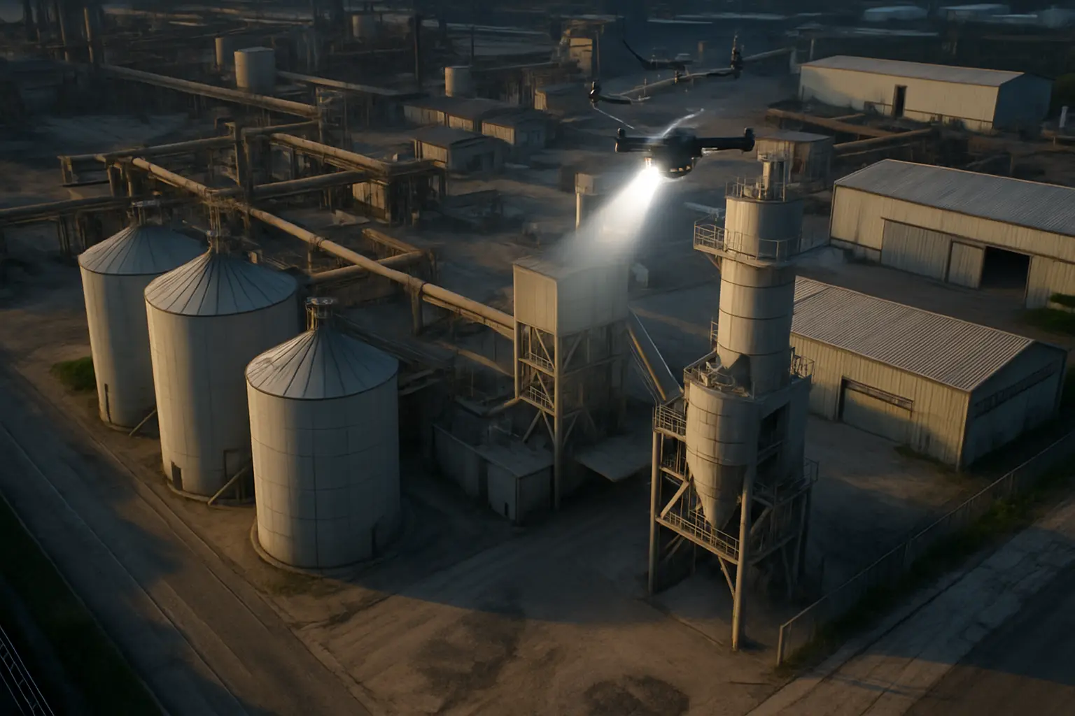
High-quality overhead imagery that provides a comprehensive view of site conditions—ideal for monitoring change, documenting conditions, and supporting better decisions.
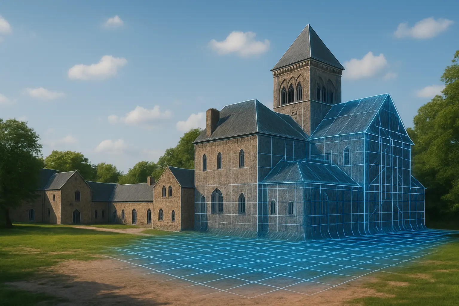
Transform aerial imagery into interactive 3D models for planning, visualization, and presentations—with outputs fully compatible with BIM and CAD platforms.
Transform aerial imagery into interactive 3D models for planning, visualization, and presentations—with outputs fully compatible with BIM and CAD platforms.
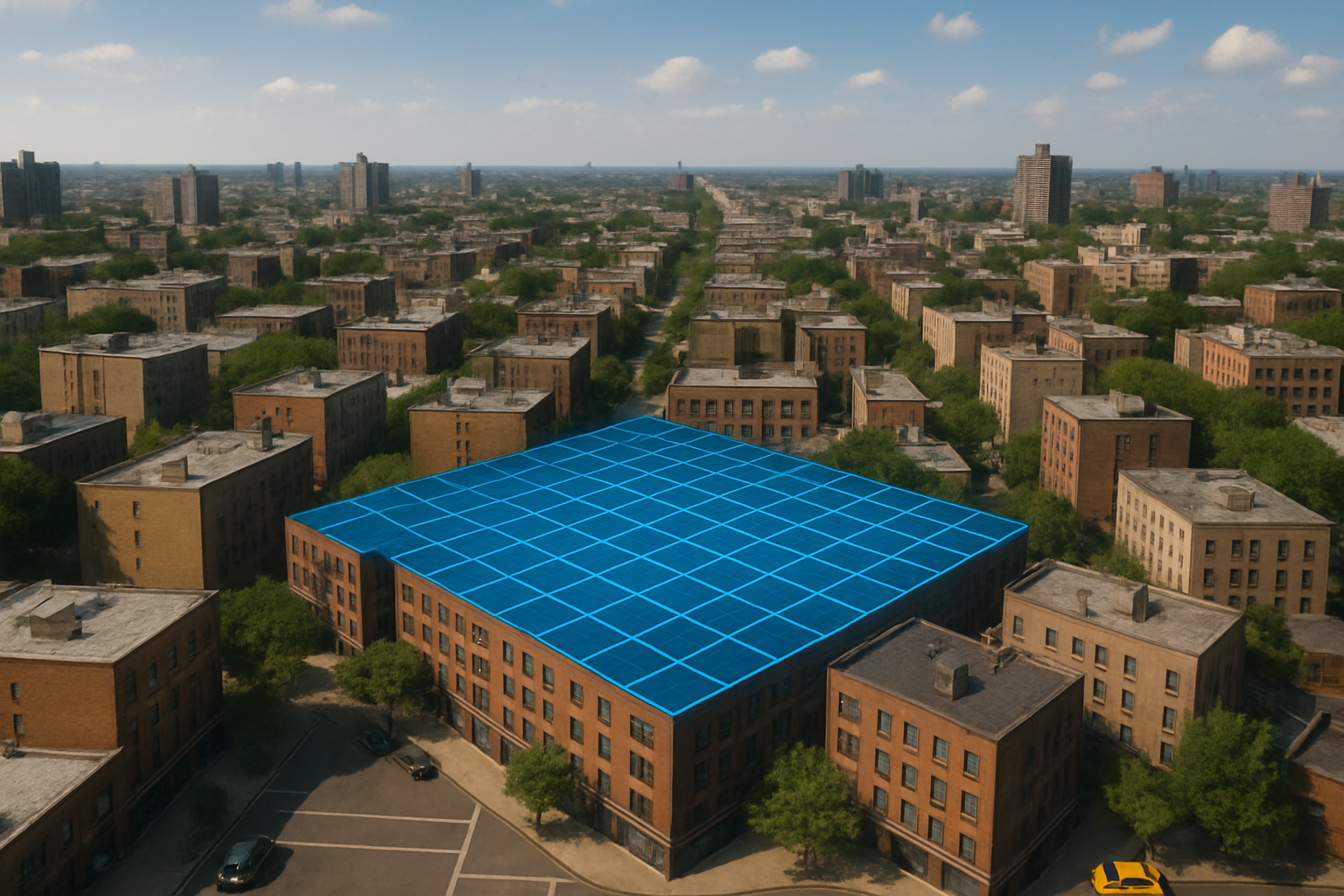
Evaluate roofs, buildings, and hard-to-reach infrastructure quickly and safely – without scaffolding, lifts, or operational downtime. Optical and thermal tools detect issues early, reducing maintenance costs and safety risks.
Transform aerial imagery into interactive 3D representations for planning, visualization,
and presentations, with outputs compatible with standard BIM and CAD platforms.
Evaluate roofs, buildings, and hard-to-reach infrastructure quickly and safely – without
scaffolding, lifts, or operational downtime. Optical and thermal tools detect issues early,
reducing maintenance costs and safety risks.
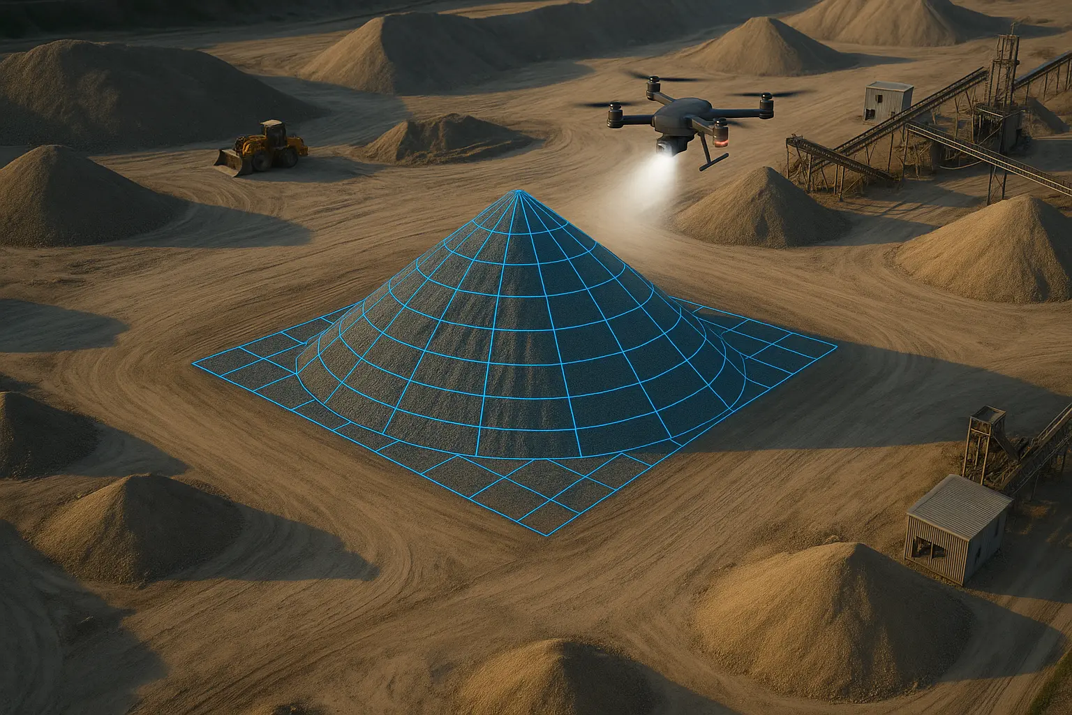
Accurate, repeatable volumetric assessments to help manage materials, track changes, and
improve operational efficiency.
Rapid aerial deployment for locating missing people, pets, livestock, or game. Thermal
imaging helps detect heat signatures, even in challenging terrain or low-visibility
conditions.
Disclaimer : Blue North Aerial provides aerial imaging, mapping, thermal, and modeling services for visualization, documentation, and decision support. Our data products are not legal land surveys and should not be used for establishing property lines, boundary determinations, or other purposes requiring a licensed surveyor. Clients requiring certified survey data should consult a licensed Professional Land Surveyor.
Contact us today to discuss your project or arrange an emergency deployment.